+44 (0) 1484 605885
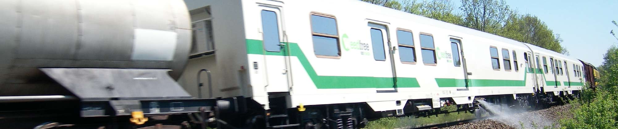
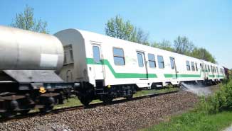
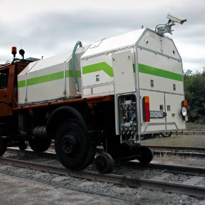
In an age where data-driven decisions are paramount, Weedfree On Track provides a myriad of reporting options tailored to meet environmental standards, state mandates, or specific client needs. From daily summaries to intricate breakdowns by meter sections, our reporting is as versatile as it is detailed.
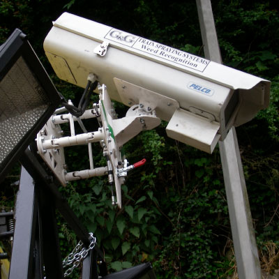
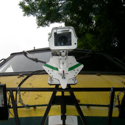
One of the cornerstone reports our spray train generates is the weed map. Leveraging cutting-edge technology:
Density & Location Recording: Our system meticulously logs weed infestation density and pinpoints its exact GPS location.
Visual Representations: The data is then translated into a vivid visual spectrum on the network map. A gradient from light yellow indicates a light weed presence, while a dark green signifies heavy infestation zones.
Using these weed maps, railway operators and maintenance crews can effectively plan future treatment applications. Beyond just numbers, this provides a dynamic, easy-to-understand snapshot of the current state of the rails.
While numerical and statistical data is invaluable for in-depth analysis, we understand the importance of visualisation.
Weedfree on Track therefore offers its customers various ways to visualise data representation. Some examples of what is possible are detailed as follows –
Visual Reports: Our train generates an array of visual reports, perfect for reviewing, planning, and tracking network vegetation trends over time.
Integration with Popular Platforms: Our commitment to user convenience sees our data compatible with commonly used platforms like Google Maps. This ensures that stakeholders can access and interpret the data seamlessly without the need for specialized software.
Harness the power of detailed and accurate reporting with Weedfree On Track and steer your railway maintenance with precision.
Weedfree On Track Ltd, 115 North Road, Kirkburton, Huddersfield, West Yorkshire, HD8 0RL, United Kingdom
+44 (0) 1484 605885 sales@weedfreeontrack.com www.weedfreeontrack.com